With over 30 years of experience we are industry recognised specialists in the use of Drones and aeroplanes to make detailed accurate maps, site plans, 3d Terrain models and volumes. Our experience includes Over 134 500km² mapped and 425 mapping projects completed.
Aerial and Drone mapping is best used for:
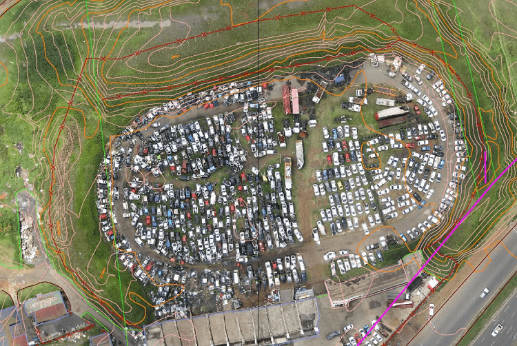
- Site mapping, contour maps, topographic surveys and design
- 3d Terrain models and orthophoto maps
- Volume measurements
- Building and construction site inspection
- Building information modelling ( BIM ) and Digital twin creation
Deliverables:
Deliverables Include Autocad DWG or Revit files, Orthophoto files in Geotiif or ECW formats, Modelmaker, Land XML , 3dMesh formats and various point cloud formats.
We are fully legally compliant with all Civil aviation laws and requirements.
Testimonials: